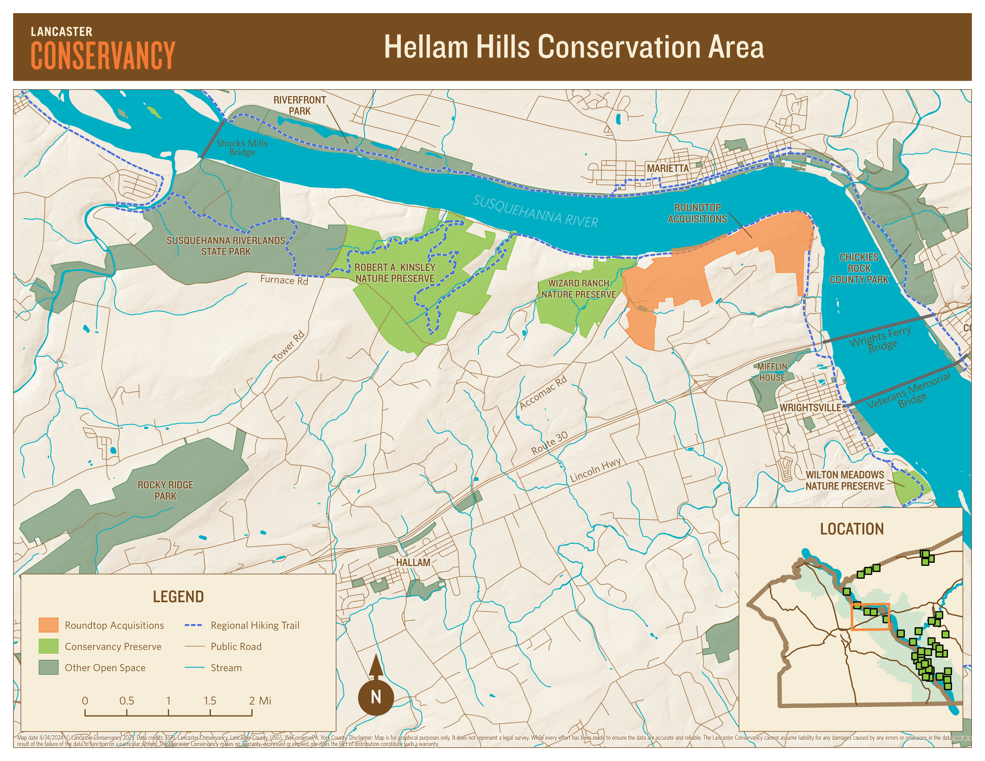
About the Conservation Area
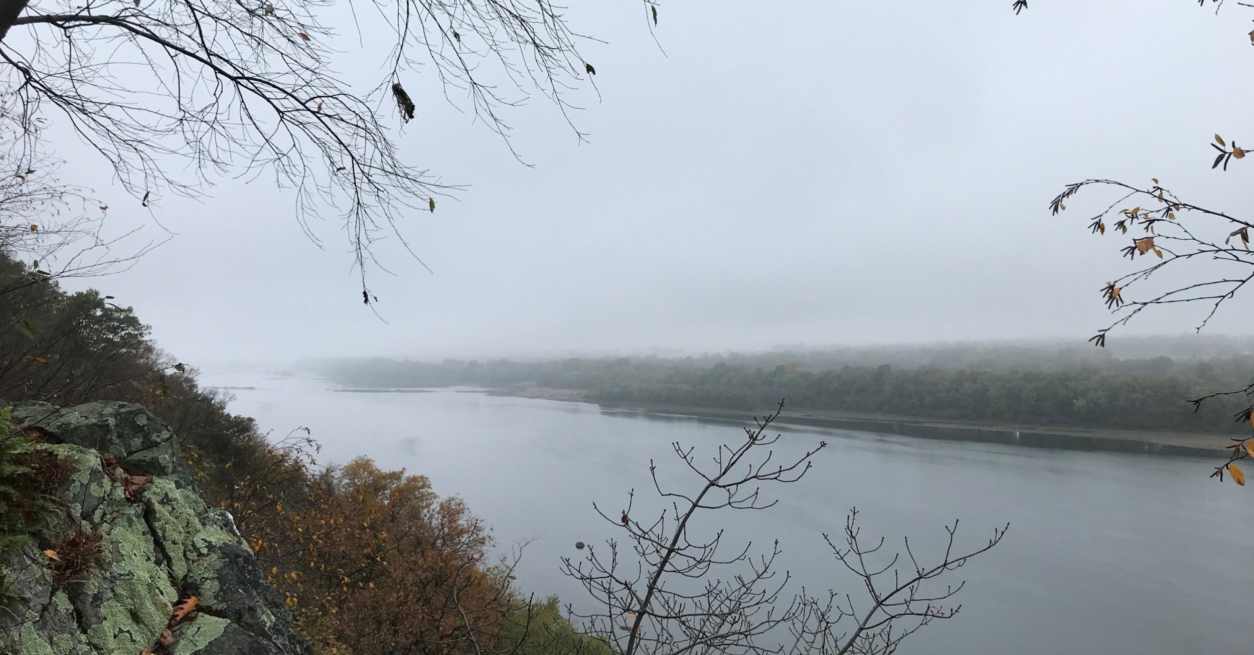
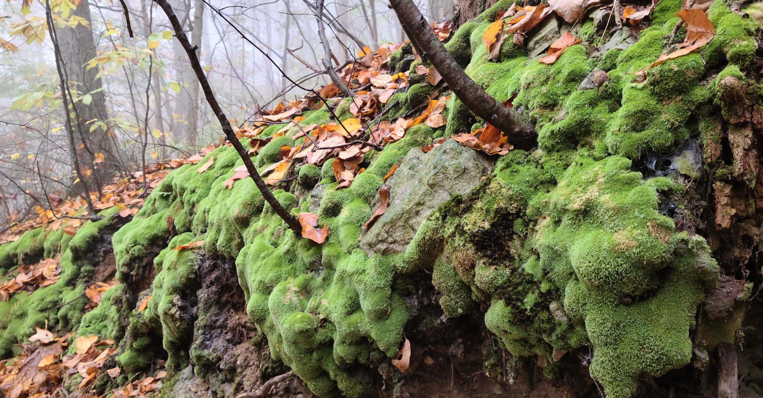
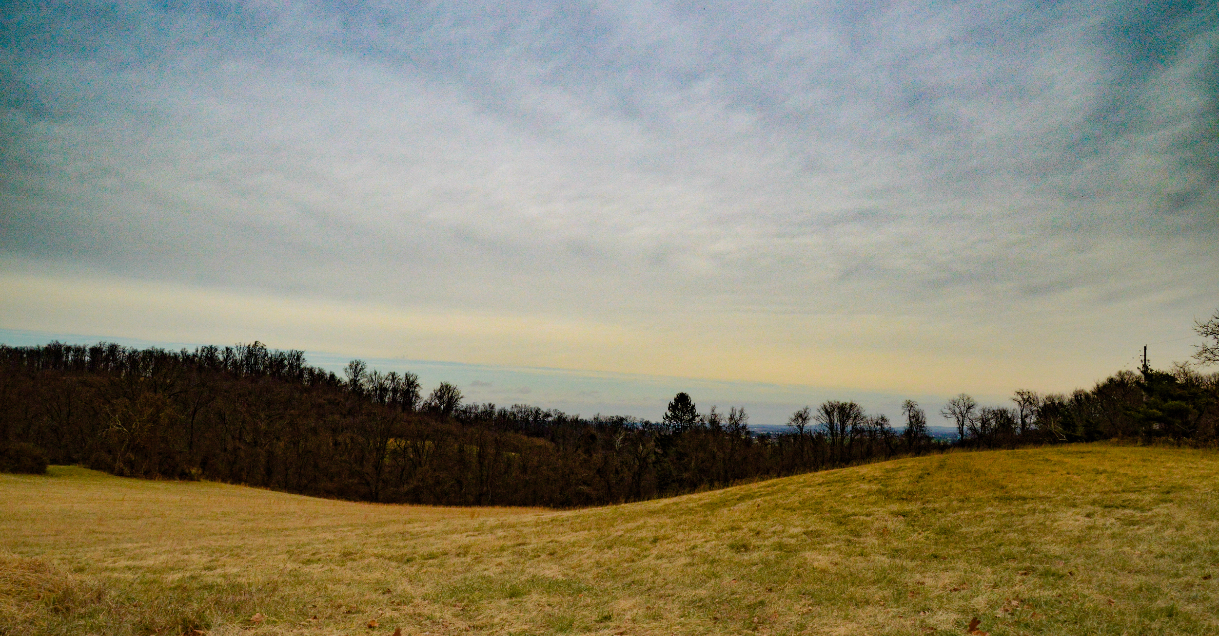
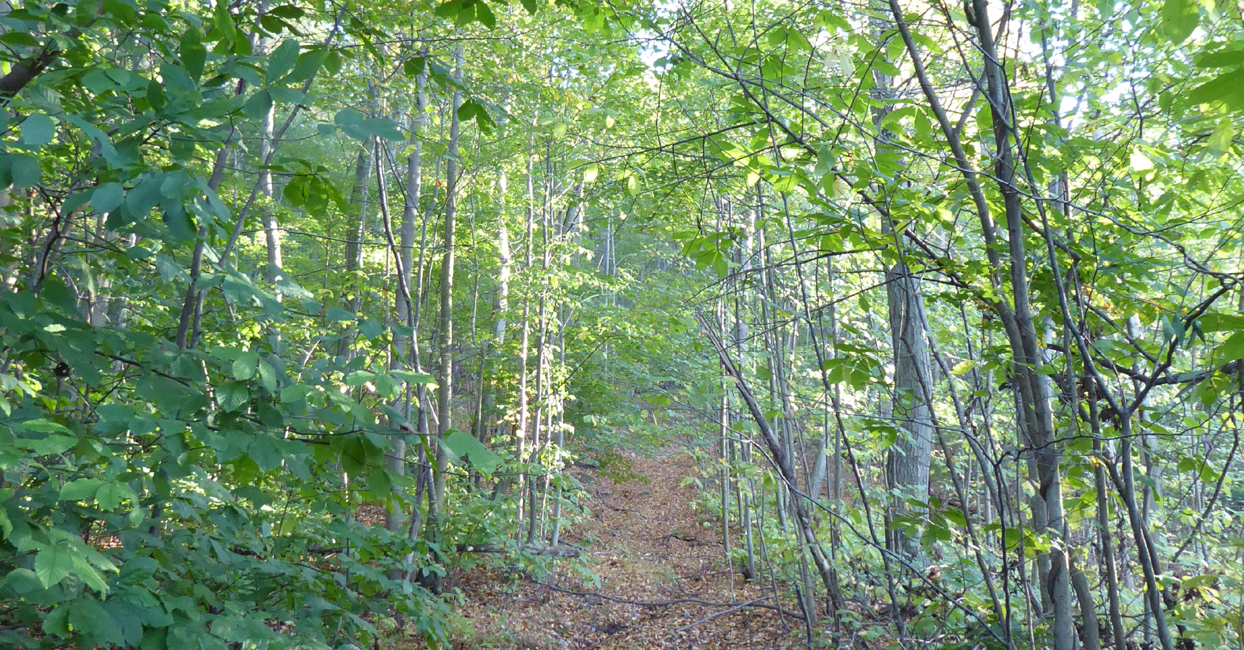
The Hellam Hills Conservation Area includes approximately 1,041 acres of permanently protected forested natural lands and meadows containing steep slopes and diverse habitats that host an array of rare, threatened, and endangered native plant and animal species and contains several headwaters and first-order streams that flow directly into the Susquehanna River.
In addition to the ecological value of this region, it also serves an important recreational function for it surrounding community. Historically, this area has played a significant role as a regional hub for outdoor recreational and environmental education opportunities, with Wizard Ranch Nature Preserve serving as a camp for the Boy Scouts of America since the 1960s, and former Marietta Gravity Water Company lands providing for informal public use, including hiking, hunting, and fishing.
The Conservancy, recognizing the area’s fragile ecological diversity and irreplaceable natural beauty and its historical use as an outdoor recreational hub, is undertaking a master planning process with the design firm, Simone Collins, that enables us to make thoughtful, transparent and mission-driven decisions to guide the future development of the site for public use to include new passive recreational opportunities and the potential to generate revenue to offset the site’s anticipated land stewardship costs while balancing the Conservancy’s responsibility to protect wildlife habitat and ecosystem function.
Regional Context Considerations
With regards to the regional context of the Hellam Hills Conservation Area, it is important to note that it sits within the Pennsylvania Department of Conservation and Natural Resources (DCNR) designated Susquehanna Riverlands Conservation Landscape (SRCL). The Susquehanna Riverlands is one of eight DNCR-designated conservation landscapes that includes the scenic and historic Lower Susquehanna River corridor in Lancaster and York Counties in South Central Pennsylvania. The landscape is geographically defined as including all municipalities and boroughs in Lancaster and York Counties that share a border with the Susquehanna River or are enveloped by municipalities that do. The landscape is home to over 16,000 acres of publicly
accessible natural lands.
In addition to being a place, the Susquehanna Riverlands is also a collaborative partnership that includes a constellation of communities, organizations and agencies committed to the mission of protecting, preserving, and stewarding the natural lands along the Lower Susquehanna River, emphasizing connectivity, eco-system health, and sustainable public access. Our partnership’s vision is in ensuring that the natural lands along the Lower Susquehanna River remain protected, stewarded, and connected to each other and their surrounding communities. As part of this collaborative effort, the Conservancy is leading an initiative among partners to develop an Integrated Land Management Plan that facilitates a collaborative approach and regional mindset to land management, enabling better coordination and resource sharing among public lands managers in the corridor. The Master Site Plan planning process will seek to incorporate the this growing group of Integrated Land Management Plan partners.
